UN
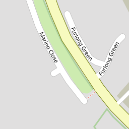
3 Furlong Green
£ 175,000
Description
We don't have a Description for this property.
- Bedrooms
- 4
- Bathrooms
- 0


Leaflet © OpenStreetMap contributors
The heatmap indicates the level of crime in the area. The color of the heatmap indicates the crime severity and recency.
Metrics Year-on-Year
- Average area value
- 299,407.00 £Increased by 7.04 %
- Average area rental value
- 1,050.00 £/moIncreased by 10.53 %
- Est rental Yield
- 4.21 %Increased by 3.19 %
- Crime Rate
- 13.00 %Unchanged by 0.00 %
from 279,726.00 £
from 950.00 £/mo
from 4.08 %
from 13.00 %
Nearby Schools
| Name | Type | Ofsted | Distance |
|---|---|---|---|
| Stanah Primary School | Community School | Good | 0.60 KM |
| Thornton Children'S Centre | Children's Centre | 1.00 KM | |
| Thornton Cleveleys Baines Endowed Voluntary Controlled Primary School | Voluntary Controlled School | Good | 1.01 KM |
| Millfield Science & Performing Arts College | Community School | Good | 1.20 KM |
| Poulton Le Fylde Children'S Centre | Children's Centre Linked Site | 1.59 KM |
Images
Nearby Streets
| Name | Average Price | Average Sqft | Distance |
|---|---|---|---|
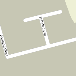
| Suffolk Close | £ 295,000 | 0 | 0.00 KM |
| Romney Close | £ 168,000 | 0 | 0.00 KM |
| Wildoaks Drive | £ 250,000 | 0 | 0.00 KM |
| Willow Close | £ 390,000 | 0 | 0.00 KM |
| New Road | £ 189,950 | 0 | 0.00 KM |
Nearby Transport
| Name | NLC | TLC | Distance |
|---|---|---|---|
| Poulton-Le-Fylde | 2671 | PFY | 2.04 KM |
| Layton (Lancs) | 2669 | LAY | 5.63 KM |
| Blackpool North | 2739 | BPN | 8.23 KM |
| Blackpool South | 2740 | BPS | 9.98 KM |
Nearby Listings
| Address | Price | Type | Score | Distance |
|---|---|---|---|---|
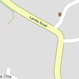
| Lambs Road, Thornton-Cleveleys, Lancashire, FY5 | £ 116,498 | BUY | 5 / 10 | 0.00 KM |
| No. 6, Furlong Green, Thornton-Cleveleys. | £ 650,000 | BUY | 8 / 10 | 0.01 KM |
| 12 Little Acre, Thornton-Cleveleys, FY5 5ND | £ 225,000 | BUY | Unknown | 0.10 KM |
| LITTLE ACRE - THORNTON CLEVELEYS - FY5 5ND | £ 215,000 | BUY | 6 / 10 | 0.11 KM |
| Plot 232 The Cypress, Kingsley Manor, Lambs Road, Thornton-Cleveleys, Lancashire, FY5 | £ 287,950 | BUY | 6 / 10 | 0.11 KM |
Nearby Properties
| Address | Price | Distance |
|---|---|---|
| 2 Furlong Green | £ 187,950 | 0.00 KM |
| 3 Furlong Green | £ 175,000 | 0.00 KM |
| 7 Furlong Green | £ 255,000 | 0.00 KM |
| 5 Furlong Green | £ 330,000 | 0.00 KM |
| 6 Furlong Green | £ 265,000 | 0.00 KM |